
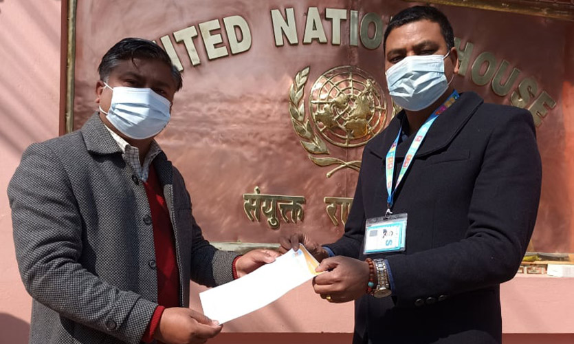
On Tuesday, Nepal’s Hindu civic society Rastriya Ekata Abhiyan (REA), led by its president Binay Yadav, submitted a memorandum to the country’s Minister of Land Management, Cooperatives and Poverty Alleviation, Shashi Shrestha. The group alleged Chinese encroachment in various areas along the Nepal-China border, and sought for “decisive and strict action” by the Nepal government.
The group also drew the government’s attention to the recent Chinese incursion along the Ruila border of Chumanubri Rural Municipality-1 in Gorkha, where Beijing has allegedly constructed a fence without coordinating with the opposite side. “The encroachment in various areas of the Nepal-China border including in Ruila, Gurkha is violating international laws and values. It is not only an insult to the friendship between the two countries but also a direct challenge to the sovereignty of Nepal,” said Binay Yadav in the memo.
Notably, this is not the first time that the group has raised concerns over Beijing’s incursion of Nepal’s territory, and China’s overt interference in Nepali politics in Kathmandu, and other cities. Reportedly, the two countries have faced similar issues in various districts like Humla, Gorkha, and Shankhuwashaba. Yadav also lauded the current government’s efforts since they came to power, “However, despite the diplomatic efforts made by the government, border encroachment continues,” said Yadav.
“We expect decisive and strict action by this government against border encroachment, the Ekata Abhiyan continues to fully support and cooperate with the government in its every step,” stated the memorandum. The organisation submitted the document following their meeting with Minister Shrestha, where they discussed the issues of encroachment along the Nepal-China border.
This comes after the local media reported the alleged encroachment of Nepali land by China back in June, when Beijing built a fence next to the no-man’s-land in northern Gorkha. “China has captured no man’s land in the Gurkha district of Nepal. This is not the first time such an incident is taking place, China is continuously taking over Nepalese territory forcefully. In Humla too, they built 12 buildings inside Nepal’s territory and have captured the area,” said the REA chairperson during an interview. “China sees Nepal just like it used to see Tibet before taking over,” he added.
Notably, neither the Ministry of Foreign Affairs nor Gorkha’s District Administration Office were aware of China’s illegal occupation along the Ruila border. The locals also claimed that Beijing constructed a fence at the Ruila border within the no-man’s land area, which is in violation of international norms. According to the international norm, no structure or fence can be built on no-man’s land without bilateral consensus.
Additionally, locals claimed that China also set up closed circuit television cameras in the area, and that it has been monitoring the situation there. Reportedly, this is not an isolated incident as China had also erected a similar fence at the Nguila border in Chhokangparo of Chumanubri Rural Municipality-7, which was later removed by them. Earlier this month, Nepal and China reportedly agreed to a joint inspection along the border through mutual consultation.
Meanwhile, the Nepali government also formed a committee to address the border issue in the Humla district last year, which works in coordination with the Home Ministry Joint Secretary Jaya Narayan Acharya. The committee report concluded that the Chinese side had encroached on the border, and suggested that the two countries work together to resolve this issue. However, the Nepal government has not made this report public yet.
New satellite Images Reveal Chinese Village In Doklam Plateau: Report
A report by NDTV in collaboration with Maxar Technologies, released on Tuesday, indicates that the village China built 9 kms east of the Doklam plateau is now fully inhabited, with cars parked at the doorstep of virtually every home. Notably, the village that Beijing calls Pangda is on the Bhutanese side, a region which is considered of strategic importance to India.
In 2017, Indian and Chinese forces were locked in a 73-day stand-off at the same Doklam tri-junction after China allegedly tried to extend a road in the area that Bhutan claimed belonged to it. India supported the Bhutanese claim while raising an objection to the construction, as it would also impact New Delhi’s security interests. The face-off was later resolved following several rounds of talks between the two countries.
The report released yesterday shows satellite images of the village that is neatly marked by an “all-weather carriageway”, and is a part of China’s “extensive land-grab in Bhutan” as it cuts 10 kms into Bhutanese territory along the Amo Chu river. “The new satellite images, sourced from Maxar, indicate that a second village in the Amo Chu river valley is now virtually complete while China has stepped up construction of a third village or habitation further South,” said the report.
The report also comes at a time when the Indian Army has repeatedly expressed concern over the increased construction activity along the India-China border and the Line of Actual Control (LAC). This road could reportedly give China access to a strategic ridge in the Doklam plateau. “This would give them a direct line-of-sight to India’s sensitive Siliguri corridor, the narrow sliver of land that connects the northeast states with the rest of the country,” stated the report.
China has reportedly been ramping up border infrastructure in several sensitive locations, including along the LAC in Eastern Ladakh where the Chinese People’s Liberation Army (PLA) has been locked in another stand-off with the Indian Army for over two years. Meanwhile, in October last year, Bhutan signed an agreement with China on a “three-step roadmap” to resolve their boundary issue. This was following 24 rounds of talks in a bid to resolve the dispute, and 10 rounds of ‘expert group’ level negotiations. Bhutan shares over a 400 kms long border with China.
The sources at the army headquarters responded to NDTV saying that it maintains a “continuous and seamless vigil” along its borders, especially those impinging the territorial integrity and sovereignty of the nation. “For this, necessary mechanisms and safeguards to meet any contingencies are in place,” said the army.
“Indian soldiers physically prevented Chinese workers from getting to this ridge in Doklam called the Jhamperi. There is now a concern that China is trying to bypass Indian defences to the West by approaching the same ridge through this alternate axis,” highlighted the report.